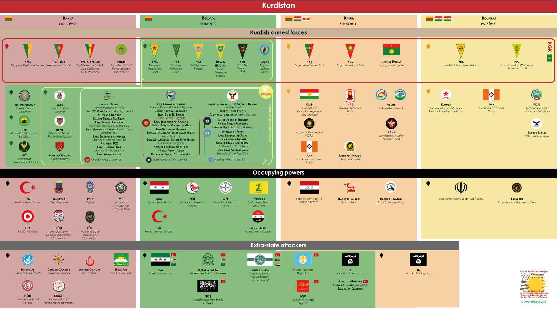
This map is improved by regular work, based on research from reliable sources. It is regularly updated – two to three times a week if necessary – through geographic information on military operations. It is directly accessible from the tab “Map” on the top right of the page. The updates are quoted in subtitle area and are posted regularly on the twitter account @AmKurBret. Thanks to @Syria_Rebel_Obs ; @Kobane_YPG ; @MarkMonmonier ; @DefenseUnits ; @deSyracuse ; @ChuckPfarrer ; @anfenglish ; @jackshahine ; @comcen76 ; @_paulo34 ; @ColdKurd ; @Avashin ; @sylezjusz
This is a regularly completed dynamic map. The amount of information may however harm the readability when the zoom level is low (“+ / -” at the top left). In this case a click on “Légende” at the bottom right allows to access to the layers’ list and to give priority to some data groups.
Otherwise it is a location map and not a chronological one : it first presents data that does not change (layers 1 and 3) or slowly (layers 2 and 4). Layers 5, as for them, present very numerous and highly volatile data, so events older than 21 days are archived month by month (layers “9 …”). However, it is possible to get a chronological vision in the “Légende” window : click on the top on “Visualiser les données” and then proceed layers, events in layers 5 & 9 are listed in chronological order.
